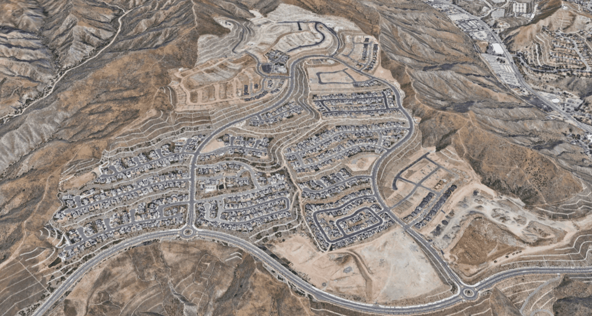


We were engaged initially to prepare a cost estimate on an approved Tentative Tract Map. Our analysis revealed finished lot costs and a proposed product mix which were no longer compatible with current market conditions.
Developers Research, in partnership with our client and their land planner, civil engineer, and soil engineer, endeavored to re-design the property in order to create a feasible and profitable development project. The tentative tract map, as designed, yielded approximately 30 million cubic yards of grading required. Our refreshed approach reduced this overall quantity by 30%. Also, by adjusting the site grades, we were able to compose a plan that yields more than double the original view lots, increasing potential premium revenue. This new methodology also reduced the project footprint by 20%, helping to present the case to the municipality for approving an amended tentative map. This smaller footprint, along with better conforming to existing topography, reduced landscaping costs significantly due to a reduction of slopes. Additionally, our approach allowed for smaller builder take-down parcels, and more efficient development phasing options. Most crucially, we were able to create a manageable, cost-effective first phase.
As of this writing, the project was refined by Developers Research and the planning team, and the project is well under way with infrastructure improvements complete, and the majority of homes constructed and occupied.